Crop maps
Crop mapping
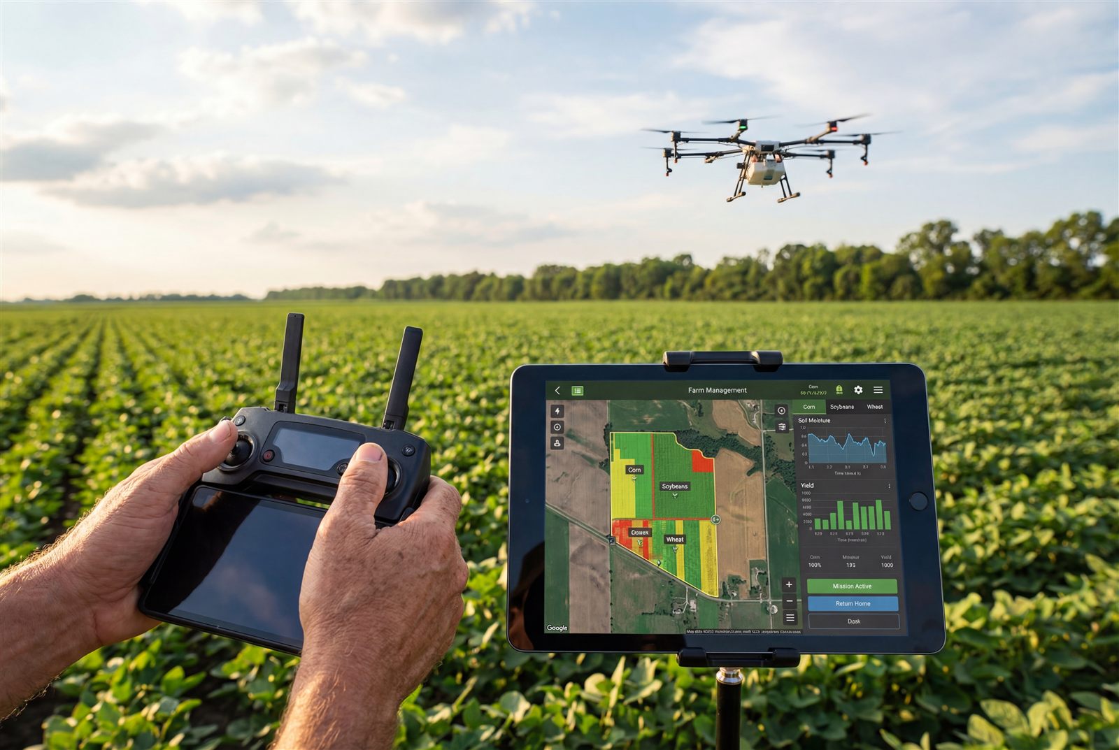
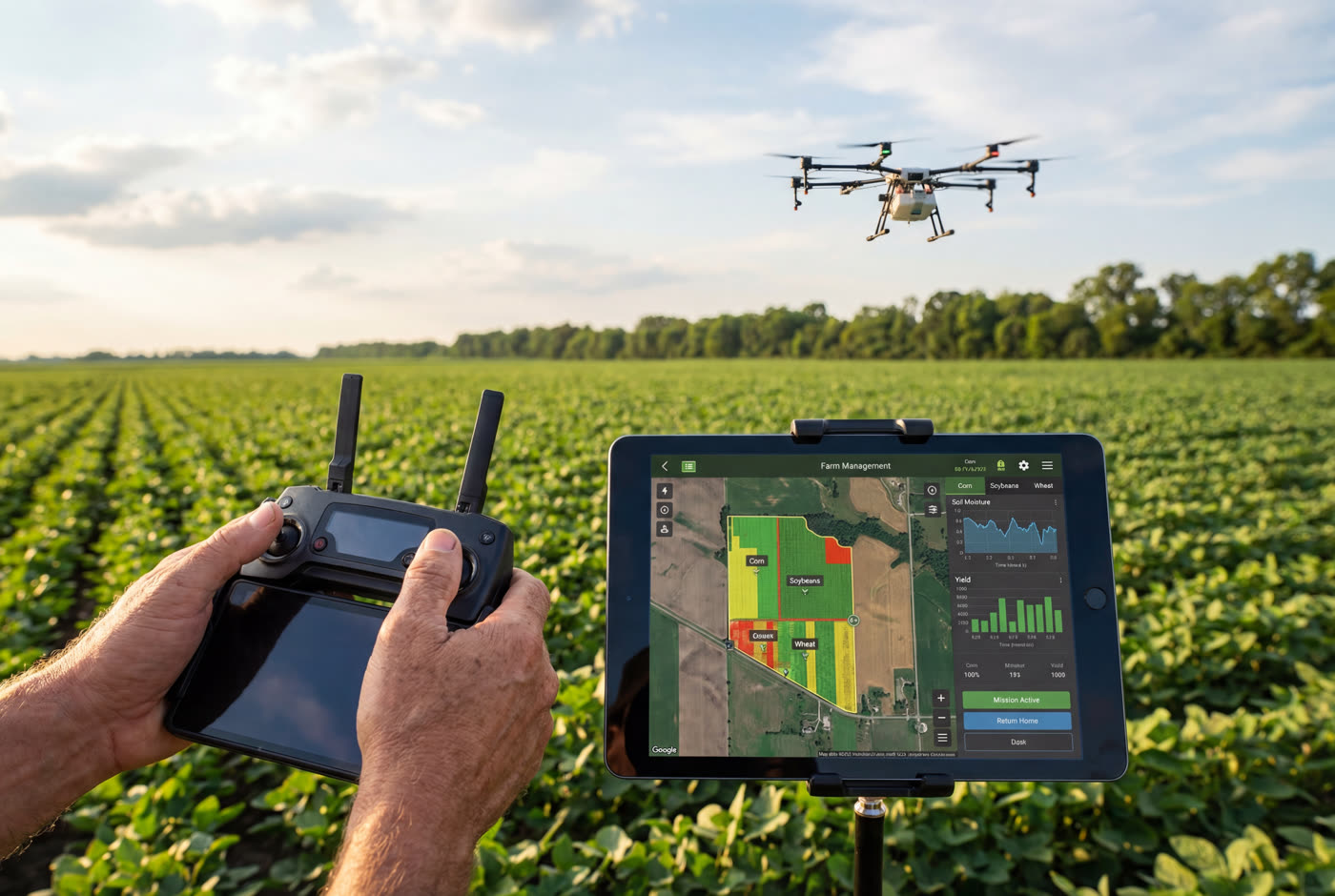
See field blocks, crop stress and problem areas from above.
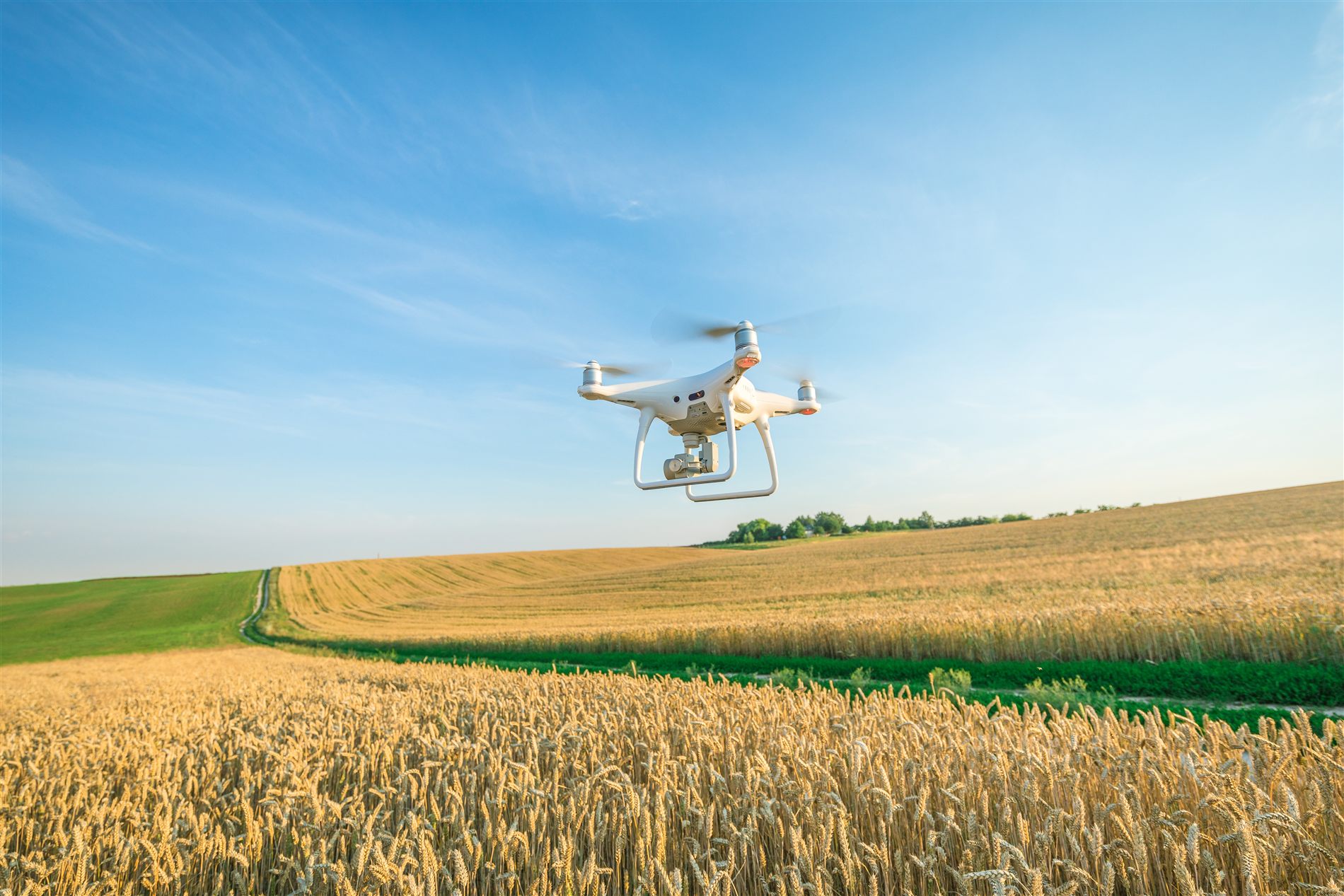
Hire verified pilots for crop mapping, field monitoring, irrigation checks and seasonal inspections — matched to your farm in minutes.
High-resolution orthomosaics of every acre.
Spot stress and problem zones early.
Find leaks, dry spots and drainage issues.
Aerial footage for sales and records.
See field blocks, crop stress and problem areas from above.
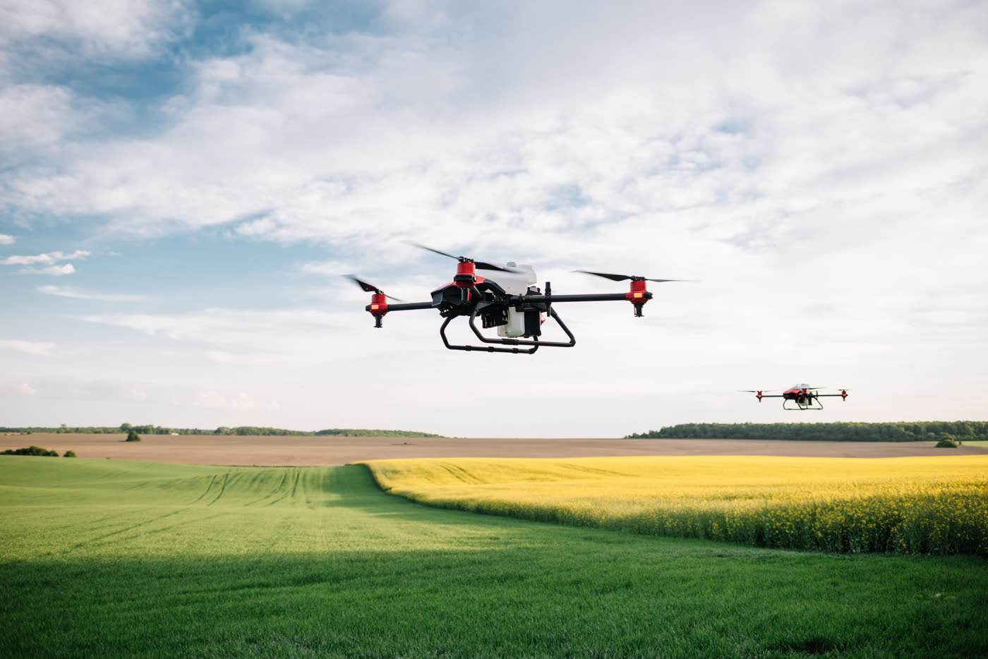
Document treatment areas and help crews verify coverage.

Give owners and managers simple visual updates.
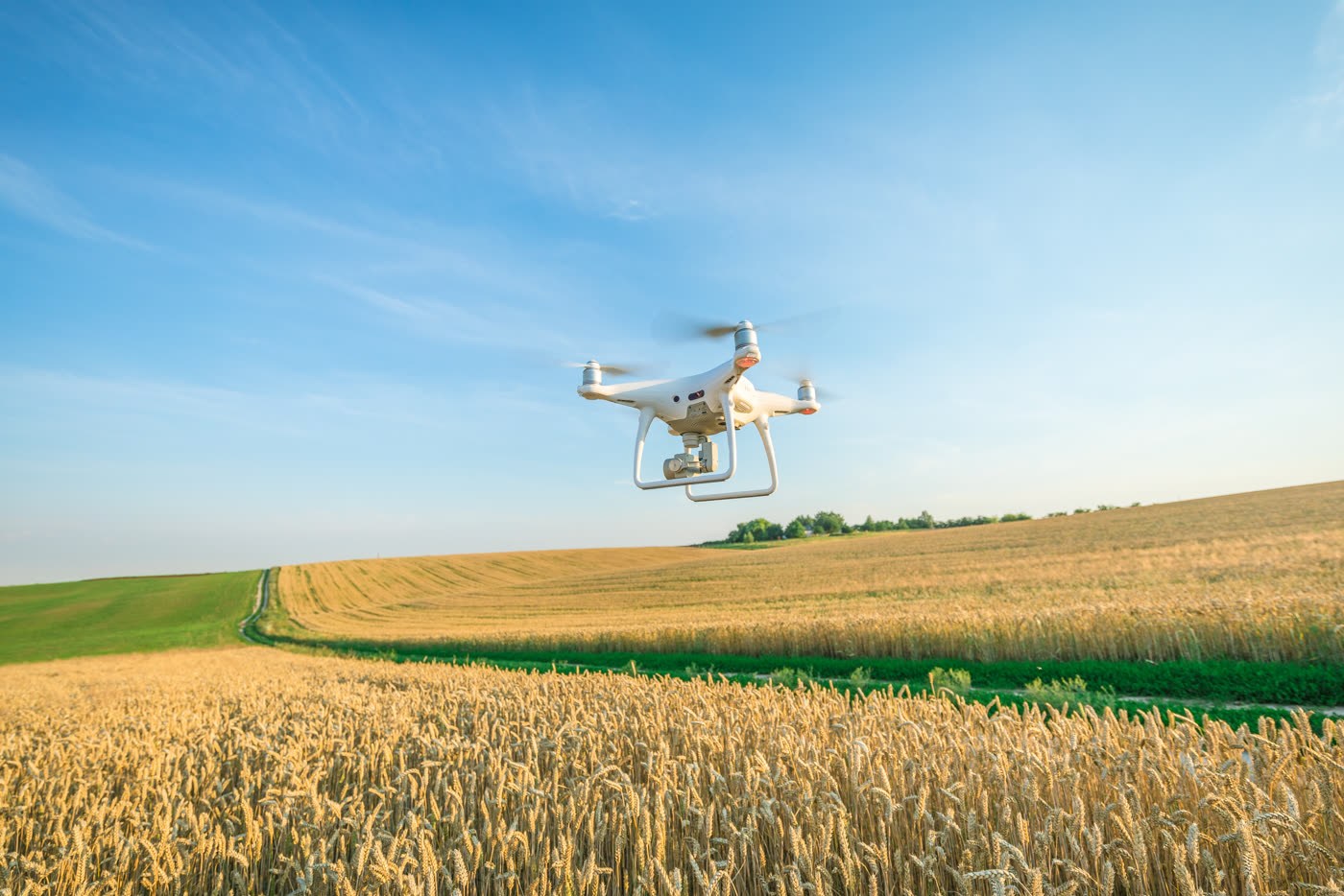
Inspect large fields without walking every row.
Every pilot is FAA Part 107 checked and insured.
We show city and ZIP first — the exact address opens after you hire.
Messages, files, approvals and payment stay in one place.